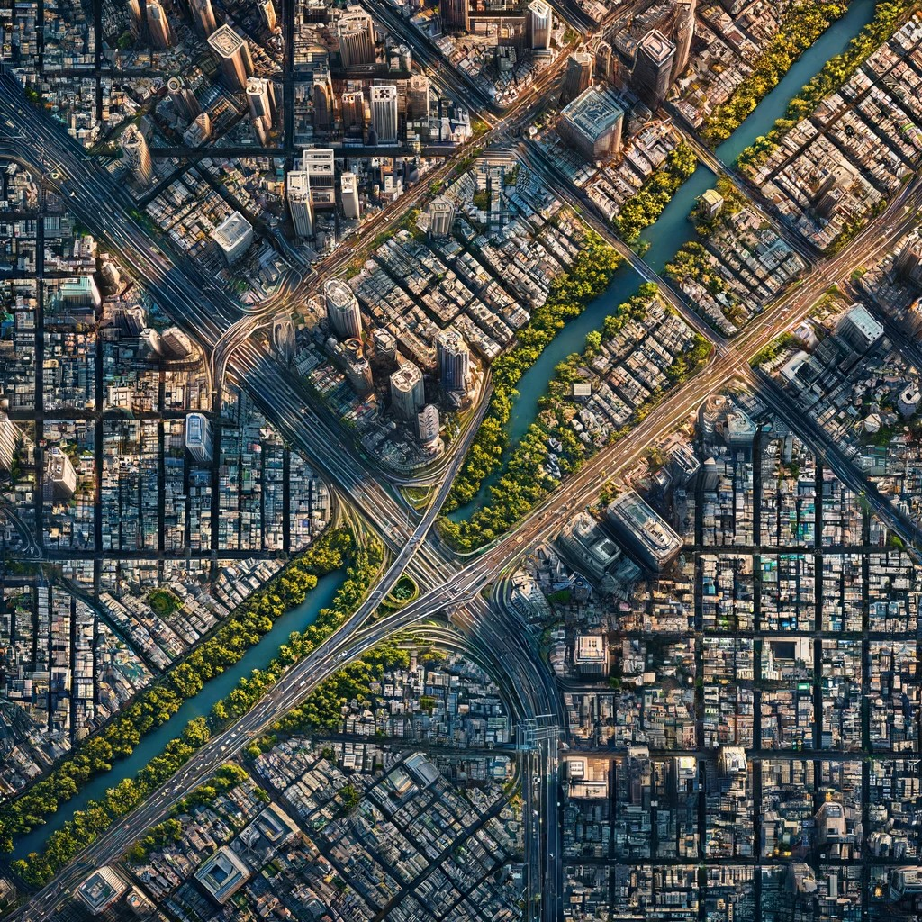
Our cities are ever more interconnected. A single person typically has no idea where the food they eat comes from, where does the waste go, how does water reach their house, or how are products distributed in a city. In this interconnectedness of an urban organism, it becomes hard to see the inefficiencies and gaps unless all this data is mapped to a single platform. By using a software centric design, we aim to enthuse efficiency and sustainability into the actions of all stakeholders involved.
Vision
The vision of our organization is to provide state of the art geospatial intelligence for a more efficient and sustainable operation of the city.
Mission
Our mission is to empower 10+ organizations with usable and productive geospatial solutions thus affecting more than 25 cities by 2026.
Method
Our solutions use a mixture of very high resolution imagery from Maxar, multispectral daily images from PlanetScope and an even wider spectral information through Sentinel2 and Landsat satellites to develop a comprehensive and robust solution. We work very closely with our users to understand their needs and to ensure that the developed solution is adopted and practical for the use case.
